Hume and Hovell Ultra Marathon
Race Information
The event uses The Hume & Hovell Walking Track, constructed as a Bicentennial Project in 1988. The walking track follows as closely as possible the historic route taken by Explorers Hume & Hovell on their 1824 expedition to Port Phillip Bay.
The track is a mixture of constructed walking tracks and fire trails. The highest point is over 1200 metres in elevation, with many scenic natural attractions along the course including Buddong Falls, Paddys River Dam, alpine snow gums, and Mannus Lake.
Find Accommodation Near Hume and Hovell Ultra Marathon
Use this map to find hotels and airbnb accommodation near this race location.
You Might Like These Runs
Looking for more races? Here are a few similiar runs in the near area that you might also like
Pace Calculator
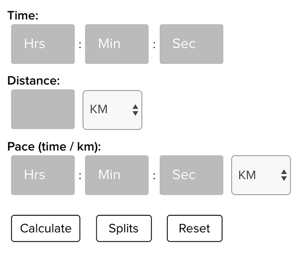
Find your running pace and splits, and learn if you can outrun dangerous animals with the RunGuides run pace calculator.

Tell us your race tips


